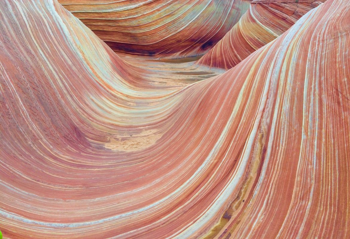
As a person who studied geology in college, I instantly geek out when I come in contact with cool rocks and rock formations. Living in Northern Arizona basically means I do almost everyday. I’m immediately figuring out if they are sedimentary, igneous, or metamorphic. Looking at an exposed cross-section loaded with multiple rock layers, folded rocks, and faults is a geologist’s dream come true. The Wave is pure ecstasy for geologists to explore and walk upon. An absolute paradise. And now finally, I get to say that “I walked on the Wave, even surfed it”. This is me bragging, because getting access to the Wave is a challenge.
It is a MUST to try and visit in the southwest. It is a hidden beauty that only a few lucky selected people gain access to. How was it made? How did it get there? Is it a easy hike to get to? Let me guide you through its history and along the path so you can surf the Wave on your own.
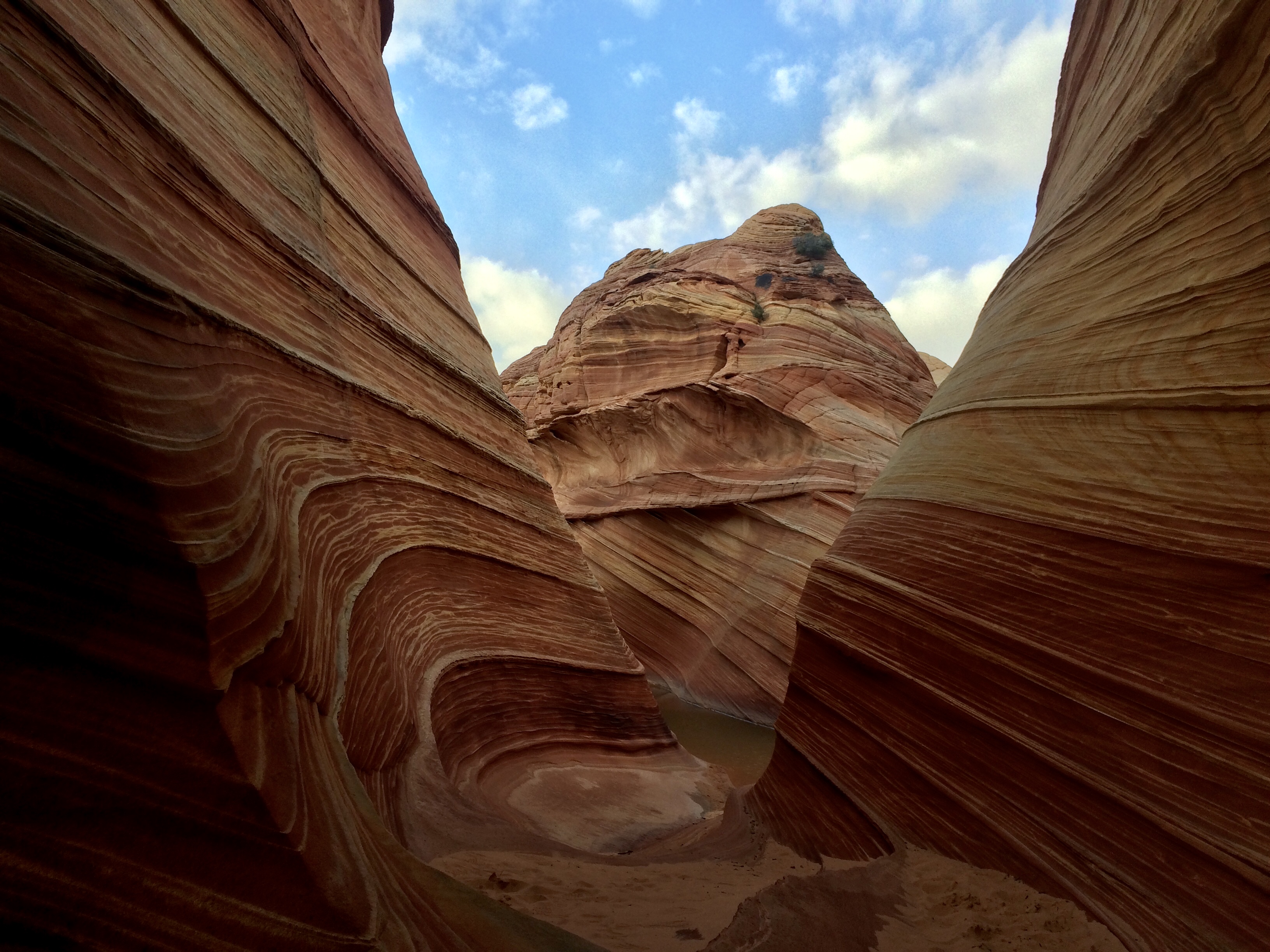
Looking into the Wave from the west
To give a quick geologic introduction on the Wave. It is cross-bedded sandstone. The proper geologic name for this rock layer is the Jurassic Navajo Sandstone. The Jurassic Navajo Sandstone formation is nearly 200 million years old, and at that time the region was a sandy desert where huge dunes migrated across the landscape pushed by seasonal winds. Prevailing wind directions of that ancient Jurassic time can be determined by examining the cross-bedding (layers) in the sandstone. What hikers see today are some of the original cross-bedded dunes shaped into substantial landforms and exposed by erosion from eons of runoff. The “ribbons” of various colors in the rock formation are called Liesegang bands, which were formed by movement and precipitation of oxidizing minerals such as iron and manganese by groundwater. There are thin veins of calcite cut across the sandstone, adding another dimension to the landscape.
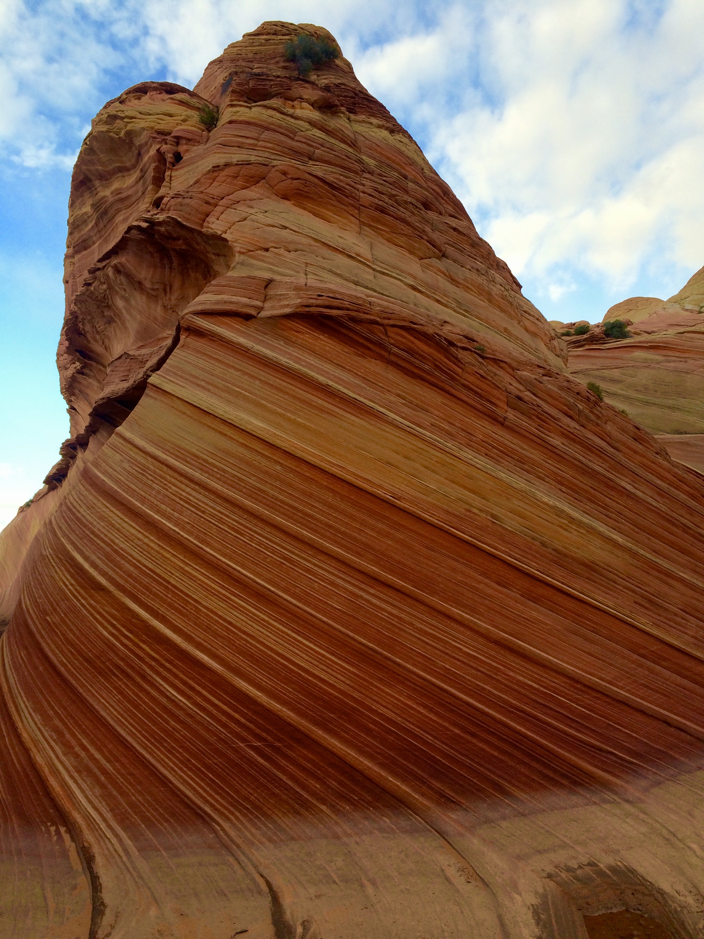 I will not give direct, explicit directions to the Wave. A permit is required to The Wave and can be collected from the BLM website or at the BLM office in Kanab, Utah. Getting a permit is the hard part, because people who sign up for one are entered in a lottery. 20 people are selected every day to obtain a permit to hike to the Wave. 10 online and 10 in-person in Kanab. Hiking without a permit to the Wave is illegal, and rangers do patrol the area. Rangers will mark you as trespassing without a permit, and will give a $1200 ticket.
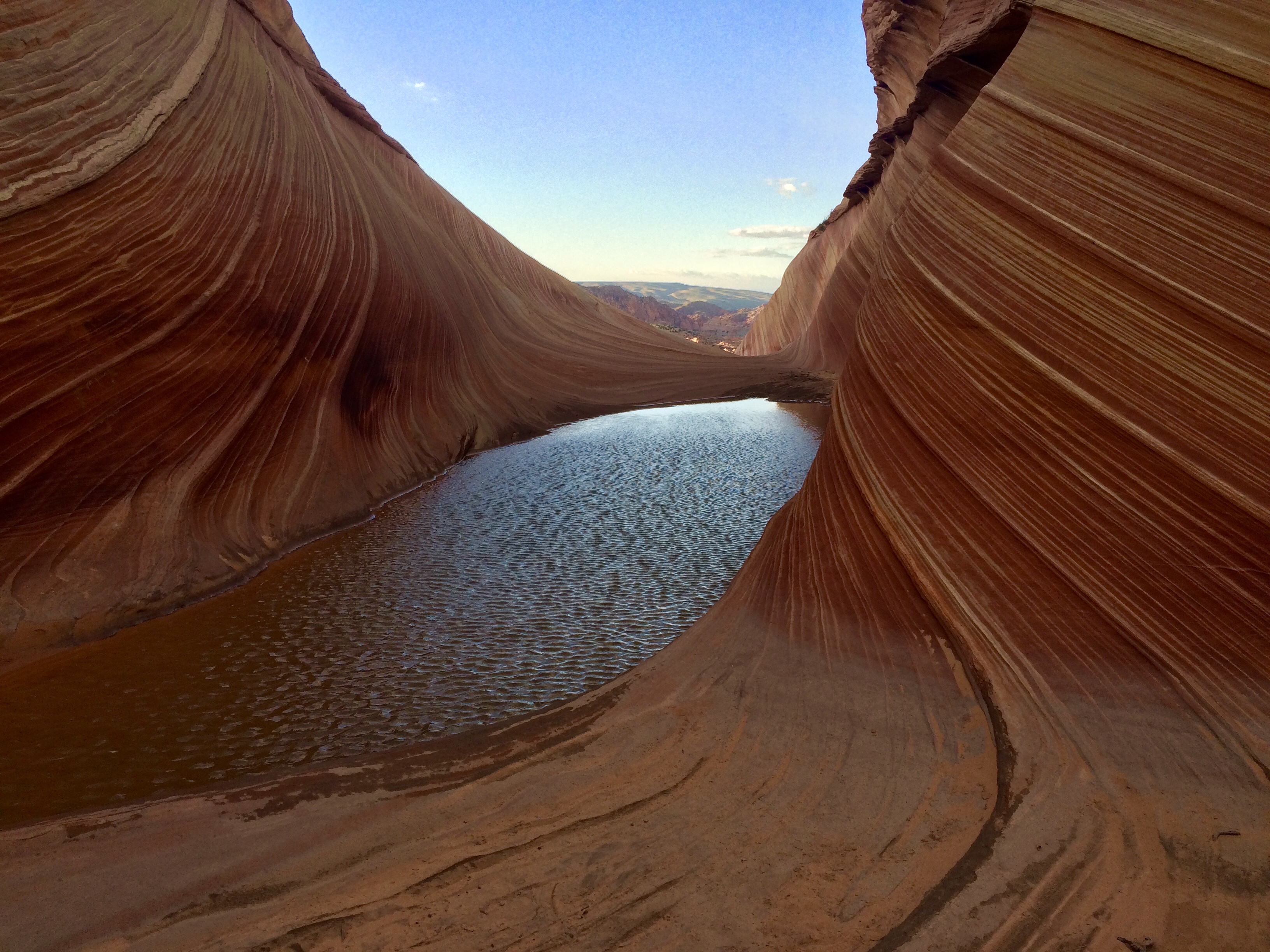
Entrance to the Wave
Getting to the Wave is about a two hour drive (one hour on US 89, another hour driving off road) coming from Page, Arizona or Kanab, Utah. 33 miles from Page and 38 miles from Kanab, there is a dirt road called House Rock Valley Road, which leads to the Wave trailhead. The road is very rugged and requires a decent off road vehicle to drive on. From Highway 89 to the trailhead for the Wave, on House Rock Valley Road is about seven miles. The trail is around five miles round trip. It can be completed within four hours. The trail follows a wash for half a mile heading east, and turns right onto a dirt trail. The trail goes up a small hill and continues eastward for another mile. In the distance, there is ridge that is solid sandstone. The trail traverses through this landscape and this is where the trail disappears. This is where using landmarks as a guide to the Wave comes in handy. There are cairns found along the way, but do not rely heavily on finding them because they are spread out and rangers knock them over. Getting over the ridge, the next big landmark to find is another ridge in the southern distance. In the ridge, there is giant sized crack that is vertical. Hiking towards this ridge will lead you directly to the Wave.
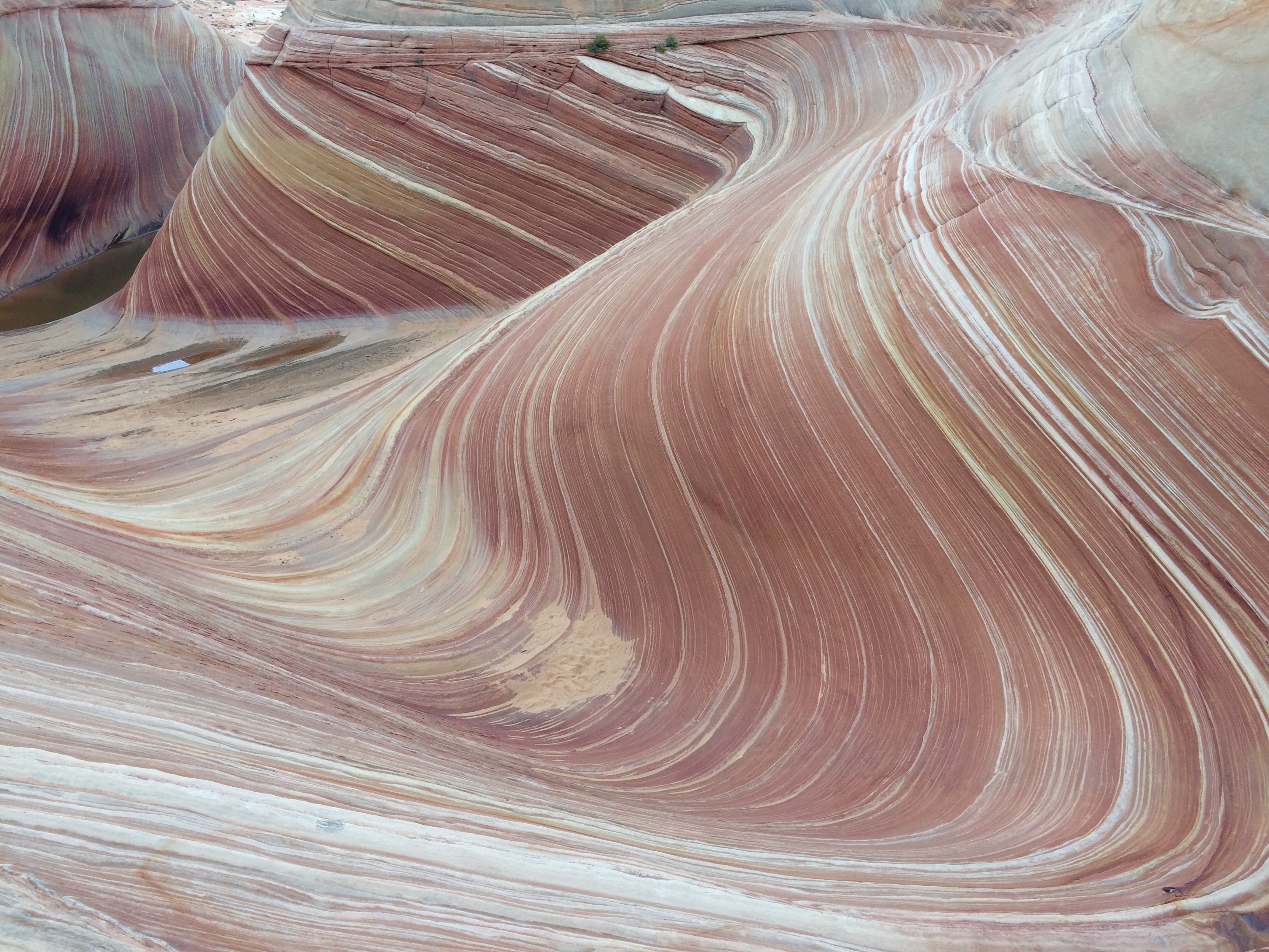
Looking down on the Wave
Walking on the Wave, is an amazing feeling. Nothing else mattered to me, but looking at the rocks surrounding me. Running my fingers along the walls of the Wave, reminded me of rubbing a beloved, adorable, dog. It made me happy and I did not want to stop touching it. Feeling the Navajo Sandstone is very smooth and the colors of the rock formation are very rich. The cross-bedded layers are very noticeable, making the Wave even more amazing to observe. There are many spots to collect photos of the Wave, and the rest of the Coyote Buttes North area. Get creative with poses and angles to snap photos. Chances of running into other people during the hike is slim. It is a good feeling to not be surrounded by hundreds of tourists, taking photos with selfie sticks making piece signs. Gear to bring on this hike is a daypack, sunscreen, good hiking shoes, a map (BLM office will give map with directions to the Wave with permit), phone to track location with a map app (I recommend Google Maps and Avenza Maps), snacks, and about 3 liters of water. Hike smart. Make good decisions. Do not hike without a permit. Enjoy!
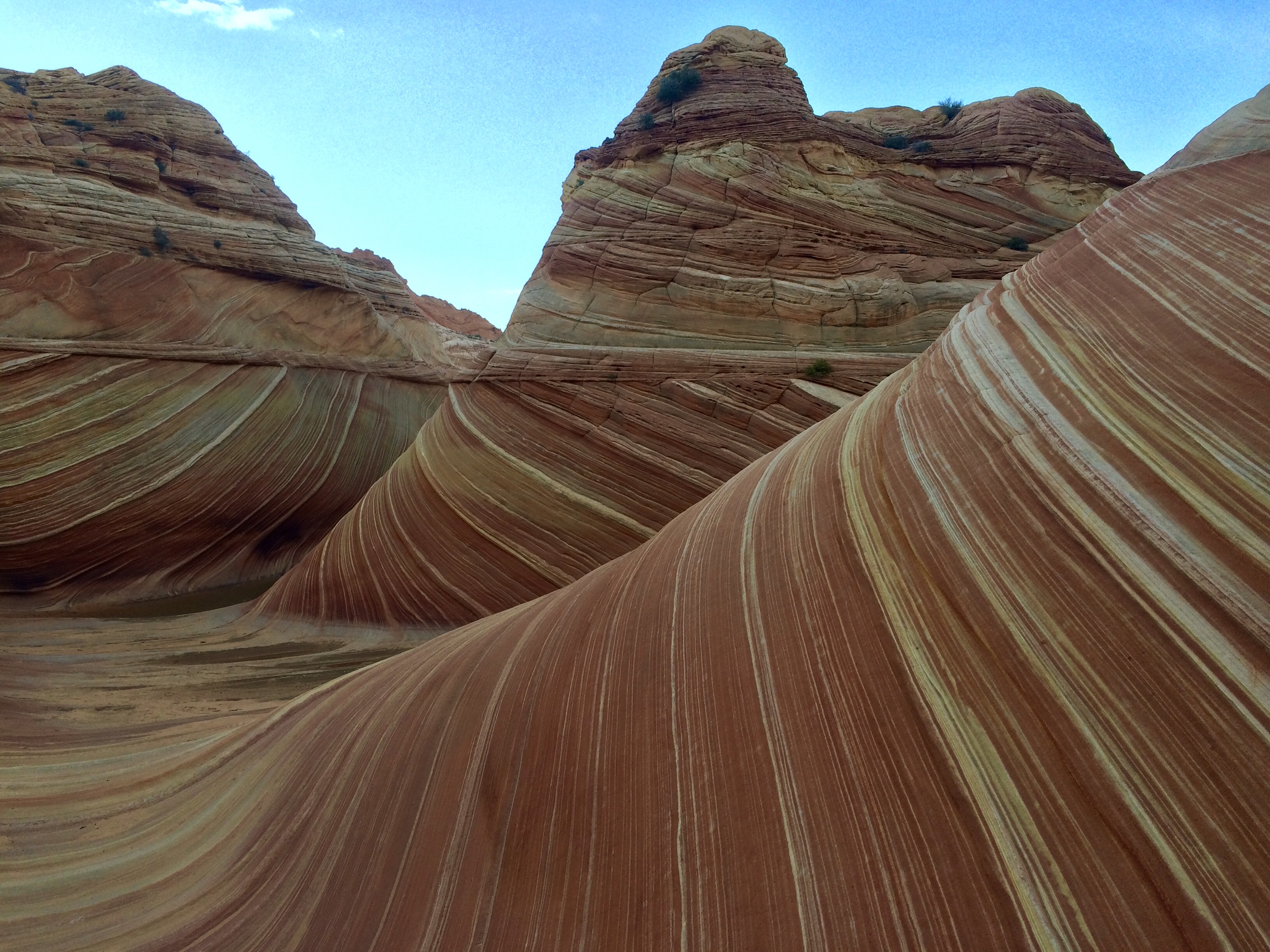 Photography advice: It is hard to take a natural looking photo of the Wave. I got to the Wave late in the evening so the colors in the rock did not pop out as well. I recommend getting there during the daytime, with the sun overhead. That will make photos look more beautiful and natural. Wait for your camera to focus on the landscape without bleeding out the sky in the background. The camera will slowly adjust to the lighting, let it focus, and snap a picture. I used an iPhone 5s to take my photos. I took hundreds of photos at different angles and used the HDR option. I upped the saturation to the photos, but not a lot. Editing options, I used an app called VSCO and Instagram.


